Map
Kamakura and Enoshima map
Every place this site covers, on one map. Tap a marker for opening hours, the entry fee and a link to the guide. Red markers are stations.
Prefer someone else to do the navigating? A half-day guided walk covers the walk from Engakuji down to the Great Buddha.
Map
Map data © OpenStreetMap contributors.
Walking times
Walking times between neighbouring stops, routed on OpenStreetMap footpaths at an easy pace. Hills and crowds add time.
| From | To | On foot | Distance |
|---|---|---|---|
| Kita-Kamakura Station | Engakuji | about 4 min | 0.3 km |
| Engakuji | Meigetsu-in | about 12 min | 0.9 km |
| Meigetsu-in | Kenchoji | about 16 min | 1.2 km |
| Kenchoji | Tsurugaoka Hachimangu | about 13 min | 0.9 km |
| Kamakura Station | Tsurugaoka Hachimangu | about 13 min | 1.0 km |
| Kamakura Station | Komachi-dori | about 7 min | 0.6 km |
| Tsurugaoka Hachimangu | Hokokuji (bamboo temple) | about 23 min | 1.7 km |
| Kamakura Station | Zeniarai Benzaiten | about 21 min | 1.6 km |
| Hase Station (Enoden) | Kotoku-in (Great Buddha) | about 10 min | 0.7 km |
| Hase Station (Enoden) | Hasedera | about 6 min | 0.5 km |
| Kotoku-in (Great Buddha) | Hasedera | about 10 min | 0.8 km |
| Hasedera | Jojuin | about 13 min | 1.0 km |
| Enoshima Station (Enoden) | Benten Bridge | about 12 min | 0.9 km |
| Katase-Enoshima Station (Odakyu) | Benten Bridge | about 8 min | 0.6 km |
| Benten Bridge | Enoshima Shrine | about 8 min | 0.6 km |
| Enoshima Shrine | Enoshima Sea Candle | about 6 min | 0.5 km |
| Enoshima Sea Candle | Enoshima Iwaya Caves | about 9 min | 0.7 km |
Places by area
Kita-Kamakura
- Engakuji · 08:30 to 16:30
- Tokeiji
- Meigetsu-in · 09:00 to 16:00
- Jochiji
- Kenchoji · 08:30 to 16:30
Kamakura Station and the shrine
East valleys
- Hokokuji (bamboo temple) · 09:00 to 16:00
- Jomyoji · 09:00 to 16:30
- Sugimoto-dera
- Zuisenji · 09:00 to 16:30
- Kamakura-gu
West hills
- Zeniarai Benzaiten · 08:00 to 16:00
- Sasuke Inari Shrine
- Genjiyama Park
Hase
- Kotoku-in (Great Buddha) · 08:00 to 17:00
- Hasedera · 08:00 to 17:00
- Gokurakuji
- Jojuin
Enoden coast
Enoshima
- Enoshima Shrine · 08:30 to 17:00
- Enoshima Sea Candle · 09:00 to 19:30
- Enoshima Iwaya Caves · 09:00 to 17:00
- Benten Bridge
- Enoshima Aquarium
Read next
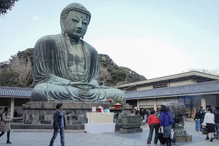 Kamakura itinerariesHalf day, full day and two days with Enoshima, timed leg by leg.
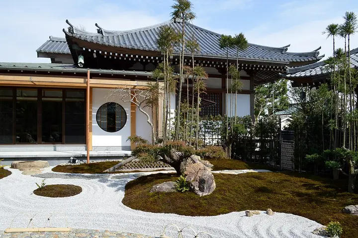 Things to do in KamakuraTemples, shrines, trails and streets with fees, hours and walking times.
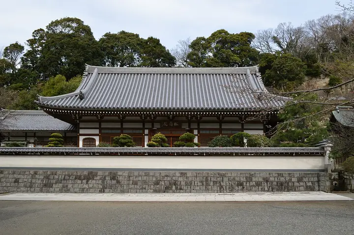 Kita-KamakuraZen temples from Engakuji to Kenchoji on foot.
 EnoshimaThe island route, the caves, the Sea Candle and sunset over Fuji.